Chartered loss adjusters

Tech-enabled.
Data-driven

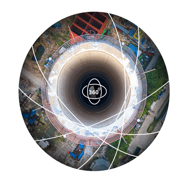
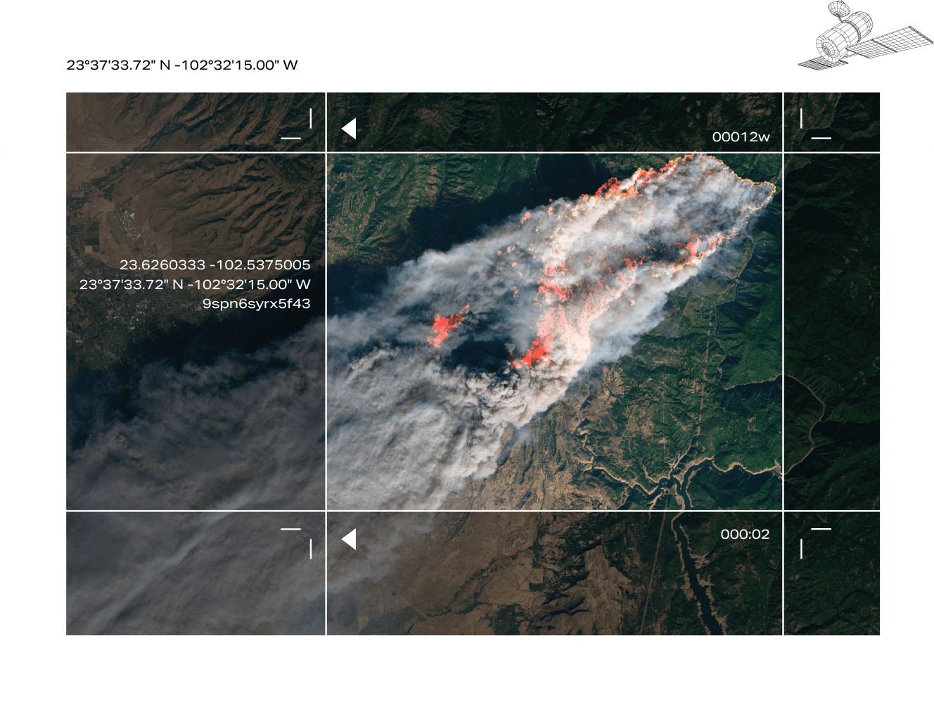
Every incident is different. Every claim is unique. From IRIS, Integra’s latest remote inspection solution, to satellite imaging and drone-enabled heat mapping, we deploy a raft of technologies to gather the most powerful inspection data. And, by banking and analysing loss-data over time across hundreds of claims, we can quickly identify trends and help to streamline future settlements.

Expert inspections.
By smartphone

Remote inspection software

Our new virtual inspection solution empowers remotely-located Integra adjusters to respond quickly with on-site inspections at any location, live via smartphone. IRIS’s super-smart technology gives all stakeholders real-time visibility of incident damage.

Eyes in the sky

360 degree drone mapping

Where sites are difficult to reach or assessments require before-and-after comparisons over a wide area, we employ high-level imaging tools to collect essential inspection data. Drones are used to capture overhead images of damaged structures or catastrophic events such as floods, earthquakes or explosions. For triaging loss damage over a wide area, we often turn to satellite analysis to compare pre-incident and post-incident site conditions.


tech360

Satellite imaging

Insights for frictionless claims

Database of loss information

With every claim, Integra captures and shares invaluable data with its insurance partners, everything from production and financial reports to policy wordings, warranties, meteorological data and findings from forensic lawyers and accountants.

We also compile loss-related data from every claim into the Integra Loss Insights Database. This pool of intelligence gives insurers a strategic resource to identify underlying trends across industries, geographies and claim values, and inform their underwriting, risk engineering, claims and finance functions.